Seatown
Introduction
The photograph on this page of Seatown by Derek Harper as part of the Geograph project.
The Geograph project started in 2005 with the aim of publishing, organising and preserving representative images for every square kilometre of Great Britain, Ireland and the Isle of Man.

There are currently over 7.5m images from over 14,400 individuals and you can help contribute to the project by visiting https://www.geograph.org.uk
Seatown
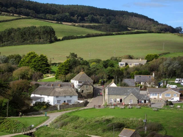
Image: © Derek Harper Taken: 29 Sep 2012
Buildings clustered around Sea Hill Lane. The fine L-shaped building on the left is Seatown Farmhouse, dating from about 1700 http://list.english-heritage.org.uk/resultsingle.aspx?uid=1287860&searchtype=mapsearch . Behind, the west side of the Winniford valley climbs to the wooded Langdon Hill. View from the coast path.
Images are licensed for reuse under creativecommons.org/licenses/by-sa/2.0
Image Location
Latitude
50.722915
Longitude
-2.823031