Footpath and cycle track, Parsonage Road, Swindon
Introduction
The photograph on this page of Footpath and cycle track, Parsonage Road, Swindon by Brian Robert Marshall as part of the Geograph project.
The Geograph project started in 2005 with the aim of publishing, organising and preserving representative images for every square kilometre of Great Britain, Ireland and the Isle of Man.

There are currently over 7.5m images from over 14,400 individuals and you can help contribute to the project by visiting https://www.geograph.org.uk
Footpath and cycle track, Parsonage Road, Swindon
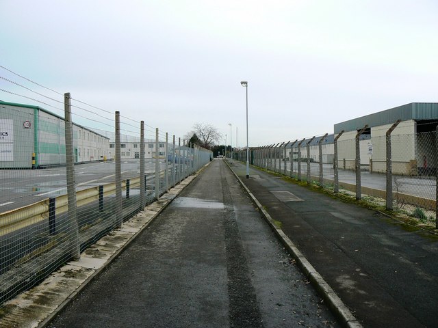
Image: © Brian Robert Marshall Taken: 1 Jan 2007
This right of way connects an unnamed road behind the viewpoint to Parsonage Road proper up ahead. Either side are industrial/commercial areas. The one to the left is called Europa Industrial Park and contains a mix of logistics and manufacturing businesses. Parsonage Road eventually connects with Ermin Street, the old Roman road, which, although by-passed now, is still busy with intra-urban traffic. This image was obtained on New Year's Day, which explains why it all looks rather deserted.
Images are licensed for reuse under creativecommons.org/licenses/by-sa/2.0
Image Location
Latitude
51.584298
Longitude
-1.753151