East of Retford
Introduction
The photograph on this page of East of Retford by Graham Horn as part of the Geograph project.
The Geograph project started in 2005 with the aim of publishing, organising and preserving representative images for every square kilometre of Great Britain, Ireland and the Isle of Man.

There are currently over 7.5m images from over 14,400 individuals and you can help contribute to the project by visiting https://www.geograph.org.uk
East of Retford
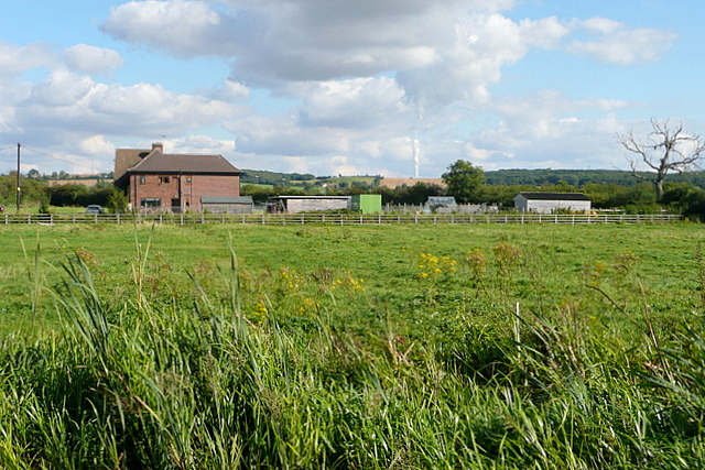
Image: © Graham Horn Taken: 22 Sep 2012
This houses looks as though it is new, on the site of a smaller building marked on the map. I am trying to identify the source of the cloud of steam on the horizon, probably West Burton power station in SK7985.
Images are licensed for reuse under creativecommons.org/licenses/by-sa/2.0
Image Location
Latitude
53.323803
Longitude
-0.928018