Stile near Lower Bruckland
Introduction
The photograph on this page of Stile near Lower Bruckland by Derek Harper as part of the Geograph project.
The Geograph project started in 2005 with the aim of publishing, organising and preserving representative images for every square kilometre of Great Britain, Ireland and the Isle of Man.

There are currently over 7.5m images from over 14,400 individuals and you can help contribute to the project by visiting https://www.geograph.org.uk
Stile near Lower Bruckland
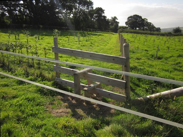
Image: © Derek Harper Taken: 15 Sep 2012
The western part of this field is now a new wood; the stile and fences are also new. Unfortunately, electric fencing tape hinders access to the stile from the pasture in the east side of the field. The public footpath in question is Axmouth Footpath 16.
Images are licensed for reuse under creativecommons.org/licenses/by-sa/2.0
Image Location
Latitude
50.730655
Longitude
-3.036414