Colliery Road, Dunston
Introduction
The photograph on this page of Colliery Road, Dunston by Robert Graham as part of the Geograph project.
The Geograph project started in 2005 with the aim of publishing, organising and preserving representative images for every square kilometre of Great Britain, Ireland and the Isle of Man.

There are currently over 7.5m images from over 14,400 individuals and you can help contribute to the project by visiting https://www.geograph.org.uk
Colliery Road, Dunston
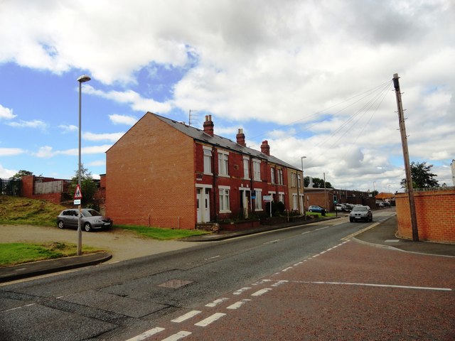
Image: © Robert Graham Taken: 8 Aug 2012
While most of this area of Dunston along the river has been redeveloped with new housing, there are still a couple of surviving old terraces like this one. The name is a reminder of the areas mining past.
Images are licensed for reuse under creativecommons.org/licenses/by-sa/2.0
Image Location
Latitude
54.958068
Longitude
-1.647829