Rusham Farm
Introduction
The photograph on this page of Rusham Farm by Alan Hunt as part of the Geograph project.
The Geograph project started in 2005 with the aim of publishing, organising and preserving representative images for every square kilometre of Great Britain, Ireland and the Isle of Man.

There are currently over 7.5m images from over 14,400 individuals and you can help contribute to the project by visiting https://www.geograph.org.uk
Rusham Farm
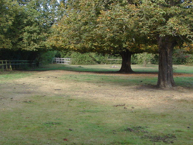
Image: © Alan Hunt Taken: 19 Sep 2012
Horse chestnut trees, the leaves coloured brown by infestation of the chestnut leaf miner larvae, at the western end of the fields of Rusham Farm.
Images are licensed for reuse under creativecommons.org/licenses/by-sa/2.0
Image Location
Latitude
51.422617
Longitude
-0.554833