A34 at Aston-by-Stone
Introduction
The photograph on this page of A34 at Aston-by-Stone by Derek Harper as part of the Geograph project.
The Geograph project started in 2005 with the aim of publishing, organising and preserving representative images for every square kilometre of Great Britain, Ireland and the Isle of Man.

There are currently over 7.5m images from over 14,400 individuals and you can help contribute to the project by visiting https://www.geograph.org.uk
A34 at Aston-by-Stone
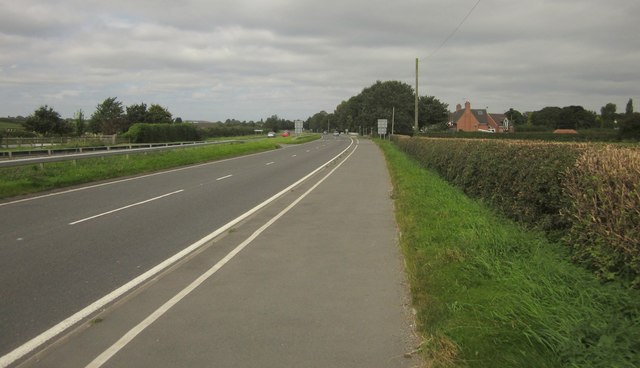
Image: © Derek Harper Taken: 7 Sep 2012
Looking along the dual carriageway from just north of the closed service station shown in Image and Image
Images are licensed for reuse under creativecommons.org/licenses/by-sa/2.0
Image Location


Leaflet Map data © OpenStreetMap
Latitude
52.877115
Longitude
-2.131156