Line of tramroad, Sconce Hills
Introduction
The photograph on this page of Line of tramroad, Sconce Hills by Alan Murray-Rust as part of the Geograph project.
The Geograph project started in 2005 with the aim of publishing, organising and preserving representative images for every square kilometre of Great Britain, Ireland and the Isle of Man.

There are currently over 7.5m images from over 14,400 individuals and you can help contribute to the project by visiting https://www.geograph.org.uk
Line of tramroad, Sconce Hills
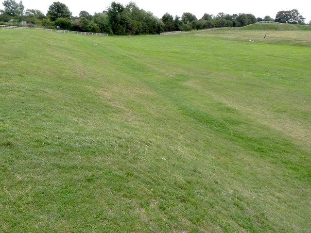
Image: © Alan Murray-Rust Taken: 14 Sep 2012
The clearly defined flat strip marks the line of the tramroad which linked Hawton Gypsum Works http://www.geograph.org.uk/photo/3138273 with a wharf on the River Trent in the area now covered by the marina. Originally horsedrawn, it was upgraded in 1901 with locomotives and operated until 1951 http://www.sconceanddevonpark.org/index.php?option=com_content&task=view&id=13&Itemid=27
Images are licensed for reuse under creativecommons.org/licenses/by-sa/2.0
Image Location
Latitude
53.070276
Longitude
-0.820443