Pond and pillbox near Elwick
Introduction
The photograph on this page of Pond and pillbox near Elwick by Antony Dixon as part of the Geograph project.
The Geograph project started in 2005 with the aim of publishing, organising and preserving representative images for every square kilometre of Great Britain, Ireland and the Isle of Man.

There are currently over 7.5m images from over 14,400 individuals and you can help contribute to the project by visiting https://www.geograph.org.uk
Pond and pillbox near Elwick
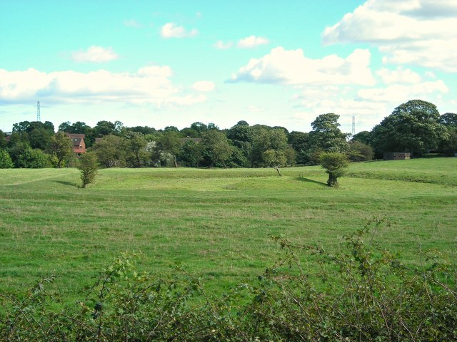
Image: © Antony Dixon Taken: 11 Sep 2012
The bumps and hollows in this field suggest that there may have been a pond here at one time. An old pillbox can just be seen in the shadow of the big tree to the right. Presumably this was built to facilitate retaliation should the Luftwaffe have ventured too close to Elwick Hall. Taken from a layby on the A19. (Further information from Carolyn Liburd: It was a fish pond for Elwick Hall and dates back to medieval times.)
Images are licensed for reuse under creativecommons.org/licenses/by-sa/2.0
Image Location
Latitude
54.684008
Longitude
-1.301521