Tug Bridge Farm from the south
Introduction
The photograph on this page of Tug Bridge Farm from the south by Andrew Hill as part of the Geograph project.
The Geograph project started in 2005 with the aim of publishing, organising and preserving representative images for every square kilometre of Great Britain, Ireland and the Isle of Man.

There are currently over 7.5m images from over 14,400 individuals and you can help contribute to the project by visiting https://www.geograph.org.uk
Tug Bridge Farm from the south
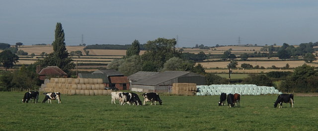
Image: © Andrew Hill Taken: 8 Sep 2012
Looking across the grid line from the footpath in the next square south. The farmland is mainly arable, but cattle are occasionally seen, as here.
Images are licensed for reuse under creativecommons.org/licenses/by-sa/2.0
Image Location
Latitude
53.152213
Longitude
-0.970428