Site of Credenhill station, 1986
Introduction
The photograph on this page of Site of Credenhill station, 1986 by Ben Brooksbank as part of the Geograph project.
The Geograph project started in 2005 with the aim of publishing, organising and preserving representative images for every square kilometre of Great Britain, Ireland and the Isle of Man.

There are currently over 7.5m images from over 14,400 individuals and you can help contribute to the project by visiting https://www.geograph.org.uk
Site of Credenhill station, 1986
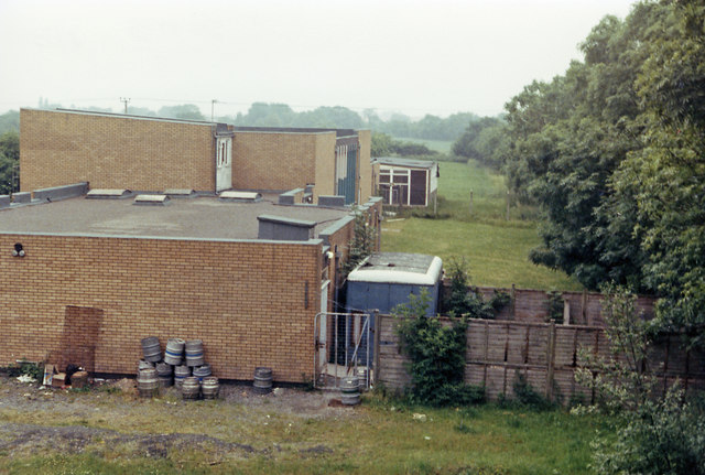
Image: © Ben Brooksbank Taken: 22 Jun 1986
View eastward, towards Hereford: ex-Midland Hereford - Brecon line, closed entirely 31/12/62. The new buildings on the site are the Credenhill Sports and Social Club and may be connected with the RAF Camp at Credenhill.
Images are licensed for reuse under creativecommons.org/licenses/by-sa/2.0
Image Location
Latitude
52.081663
Longitude
-2.810875