Newfield Road
Introduction
The photograph on this page of Newfield Road by Simon Carey as part of the Geograph project.
The Geograph project started in 2005 with the aim of publishing, organising and preserving representative images for every square kilometre of Great Britain, Ireland and the Isle of Man.

There are currently over 7.5m images from over 14,400 individuals and you can help contribute to the project by visiting https://www.geograph.org.uk
Newfield Road
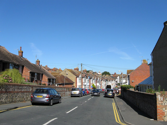
Image: © Simon Carey Taken: 31 Aug 2012
Running between Image and Brighton Road, the A259. As the name suggests it was built on the site of New Field, the name the field appeared as in Newhaven's 1841 tithe map.
Images are licensed for reuse under creativecommons.org/licenses/by-sa/2.0
Image Location
Latitude
50.792882
Longitude
0.04487