Field, Harbour Heights
Introduction
The photograph on this page of Field, Harbour Heights by Simon Carey as part of the Geograph project.
The Geograph project started in 2005 with the aim of publishing, organising and preserving representative images for every square kilometre of Great Britain, Ireland and the Isle of Man.

There are currently over 7.5m images from over 14,400 individuals and you can help contribute to the project by visiting https://www.geograph.org.uk
Field, Harbour Heights
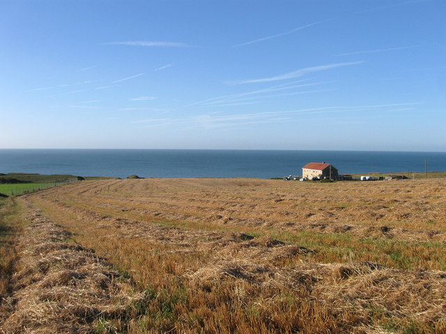
Image: © Simon Carey Taken: 31 Aug 2012
Once sheep down this section is still used for agricultural purposes with the field running down to the cliff edge. The houses to the right are Westdean and Lyndale the only two hdwellings on Westdean Avenue.
Images are licensed for reuse under creativecommons.org/licenses/by-sa/2.0
Image Location
Latitude
50.784251
Longitude
0.03442