Sandy Lodge Lane
Introduction
The photograph on this page of Sandy Lodge Lane by David Howard as part of the Geograph project.
The Geograph project started in 2005 with the aim of publishing, organising and preserving representative images for every square kilometre of Great Britain, Ireland and the Isle of Man.

There are currently over 7.5m images from over 14,400 individuals and you can help contribute to the project by visiting https://www.geograph.org.uk
Sandy Lodge Lane
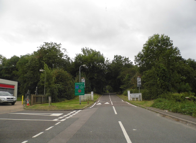
Image: © David Howard Taken: 30 Aug 2012
This is the entrance to the Moor Park estate but although cars can drive in they can't drive through it.
Images are licensed for reuse under creativecommons.org/licenses/by-sa/2.0
Image Location
Latitude
51.63187
Longitude
-0.415984