Two semis in different streets, Locking Castle, Weston-super-Mare
Introduction
The photograph on this page of Two semis in different streets, Locking Castle, Weston-super-Mare by Jaggery as part of the Geograph project.
The Geograph project started in 2005 with the aim of publishing, organising and preserving representative images for every square kilometre of Great Britain, Ireland and the Isle of Man.

There are currently over 7.5m images from over 14,400 individuals and you can help contribute to the project by visiting https://www.geograph.org.uk
Two semis in different streets, Locking Castle, Weston-super-Mare
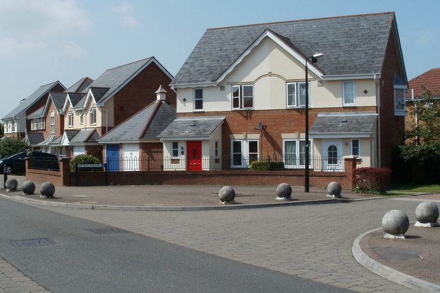
Image: © Jaggery Taken: 27 Jul 2011
The white-doored house on the right is number 1, Sefton Square. Its red-doored neighbour on the left is number 84, Bransby Way.
Images are licensed for reuse under creativecommons.org/licenses/by-sa/2.0
Image Location
Latitude
51.351676
Longitude
-2.917824