Greenway to Hackney
Introduction
The photograph on this page of Greenway to Hackney by David Anstiss as part of the Geograph project.
The Geograph project started in 2005 with the aim of publishing, organising and preserving representative images for every square kilometre of Great Britain, Ireland and the Isle of Man.

There are currently over 7.5m images from over 14,400 individuals and you can help contribute to the project by visiting https://www.geograph.org.uk
Greenway to Hackney
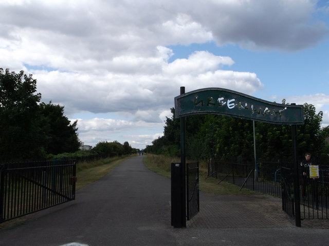
Image: © David Anstiss Taken: 26 Aug 2012
This part of the former railway line leads from near Stokes Road towards Boundary Lane. The Capital Ring (long distance path) now joins the path from Beckton.
Images are licensed for reuse under creativecommons.org/licenses/by-sa/2.0
Image Location
Latitude
51.522392
Longitude
0.045958