Alternative farming enterprise at Whiteburn
Introduction
The photograph on this page of Alternative farming enterprise at Whiteburn by M J Richardson as part of the Geograph project.
The Geograph project started in 2005 with the aim of publishing, organising and preserving representative images for every square kilometre of Great Britain, Ireland and the Isle of Man.

There are currently over 7.5m images from over 14,400 individuals and you can help contribute to the project by visiting https://www.geograph.org.uk
Alternative farming enterprise at Whiteburn
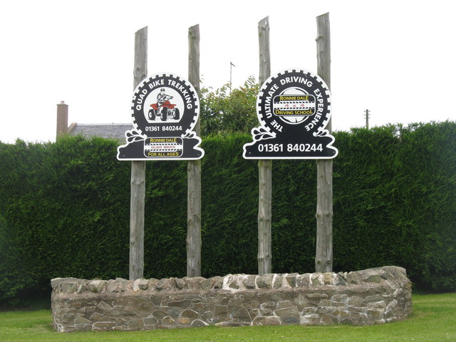
Image: © M J Richardson Taken: 23 Aug 2012
Perhaps hoping to pick up some customers from walkers on the Southern Upland Way, which passes through here.
Images are licensed for reuse under creativecommons.org/licenses/by-sa/2.0
Image Location
Latitude
55.871089
Longitude
-2.383663