St Raphael's Great Warley
Introduction
The photograph on this page of St Raphael's Great Warley by Glyn Baker as part of the Geograph project.
The Geograph project started in 2005 with the aim of publishing, organising and preserving representative images for every square kilometre of Great Britain, Ireland and the Isle of Man.

There are currently over 7.5m images from over 14,400 individuals and you can help contribute to the project by visiting https://www.geograph.org.uk
St Raphael's Great Warley
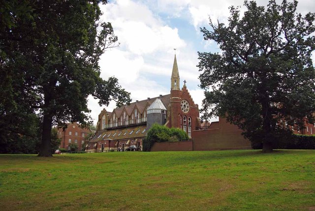
Image: © Glyn Baker Taken: 20 Aug 2012
Built in the Victorian age to minister to the needs of the Asylum inmates and staff. The hospital has been closed for a number of years and was converted to housing.
Images are licensed for reuse under creativecommons.org/licenses/by-sa/2.0
Image Location
Latitude
51.608499
Longitude
0.291601