Silver Lane, Rockbeare
Introduction
The photograph on this page of Silver Lane, Rockbeare by Derek Harper as part of the Geograph project.
The Geograph project started in 2005 with the aim of publishing, organising and preserving representative images for every square kilometre of Great Britain, Ireland and the Isle of Man.

There are currently over 7.5m images from over 14,400 individuals and you can help contribute to the project by visiting https://www.geograph.org.uk
Silver Lane, Rockbeare
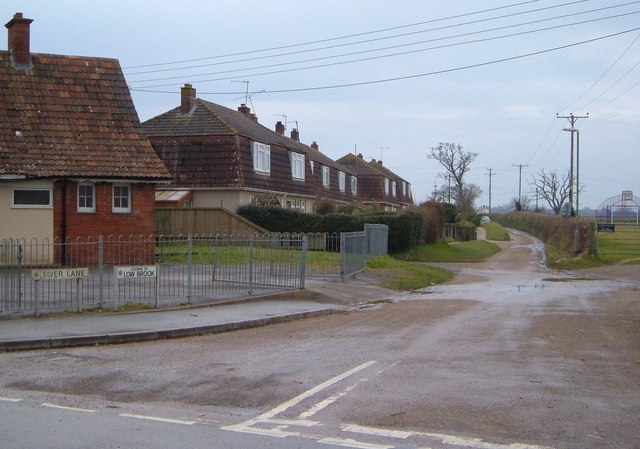
Image: © Derek Harper Taken: 14 Mar 2006
On the left, facing the junction with the road from Marsh Green, is the village hall shown in Image The houses beyond back onto Silver Lane, their fronts facing Low Brook.
Images are licensed for reuse under creativecommons.org/licenses/by-sa/2.0
Image Location
Latitude
50.744709
Longitude
-3.388517