Ramsgate Road crossing Sandwich Haven
Introduction
The photograph on this page of Ramsgate Road crossing Sandwich Haven by Bill Boaden as part of the Geograph project.
The Geograph project started in 2005 with the aim of publishing, organising and preserving representative images for every square kilometre of Great Britain, Ireland and the Isle of Man.

There are currently over 7.5m images from over 14,400 individuals and you can help contribute to the project by visiting https://www.geograph.org.uk
Ramsgate Road crossing Sandwich Haven
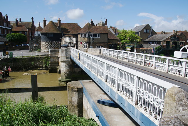
Image: © Bill Boaden Taken: 29 Jun 2012
The River Stour passes under the bridge on one of its long detours.
Images are licensed for reuse under creativecommons.org/licenses/by-sa/2.0
Image Location
Latitude
51.275831
Longitude
1.34188