Path to the shops
Introduction
The photograph on this page of Path to the shops by Gerald England as part of the Geograph project.
The Geograph project started in 2005 with the aim of publishing, organising and preserving representative images for every square kilometre of Great Britain, Ireland and the Isle of Man.

There are currently over 7.5m images from over 14,400 individuals and you can help contribute to the project by visiting https://www.geograph.org.uk
Path to the shops
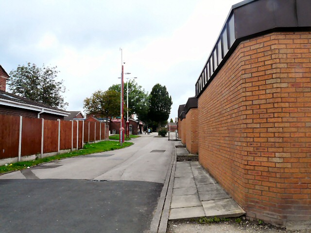
Image: © Gerald England Taken: 3 Aug 2012
Path from Jura Close to the shops on Concord Way. On the right is Dukinfield Library Image which is threatened with closure under council cutbacks.
Images are licensed for reuse under creativecommons.org/licenses/by-sa/2.0
Image Location
Latitude
53.476359
Longitude
-2.082226