Westside story (2012)
Introduction
The photograph on this page of Westside story (2012) by Stanley Howe as part of the Geograph project.
The Geograph project started in 2005 with the aim of publishing, organising and preserving representative images for every square kilometre of Great Britain, Ireland and the Isle of Man.

There are currently over 7.5m images from over 14,400 individuals and you can help contribute to the project by visiting https://www.geograph.org.uk
Westside story (2012)
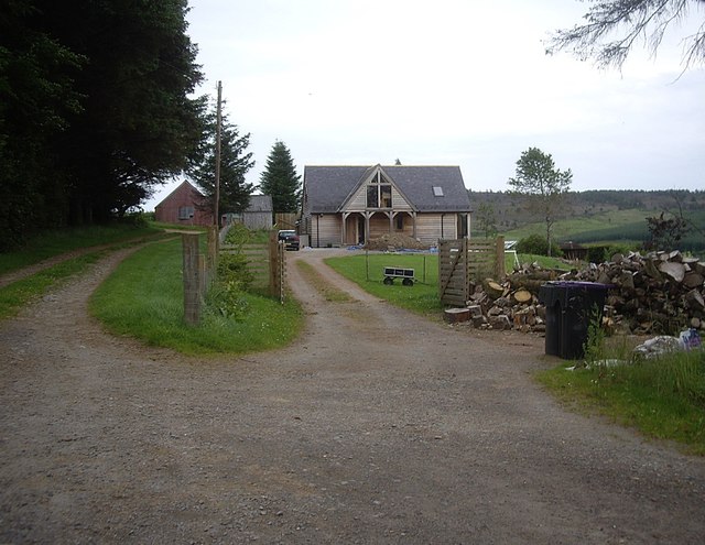
Image: © Stanley Howe Taken: 24 Jul 2012
A play with wood. Is the stone house still behind the wooden bungalow taking shape?
Images are licensed for reuse under creativecommons.org/licenses/by-sa/2.0
Image Location
Latitude
57.153415
Longitude
-2.781652