Access Lane from Lower Thornber Farm
Introduction
The photograph on this page of Access Lane from Lower Thornber Farm by Chris Heaton as part of the Geograph project.
The Geograph project started in 2005 with the aim of publishing, organising and preserving representative images for every square kilometre of Great Britain, Ireland and the Isle of Man.

There are currently over 7.5m images from over 14,400 individuals and you can help contribute to the project by visiting https://www.geograph.org.uk
Access Lane from Lower Thornber Farm
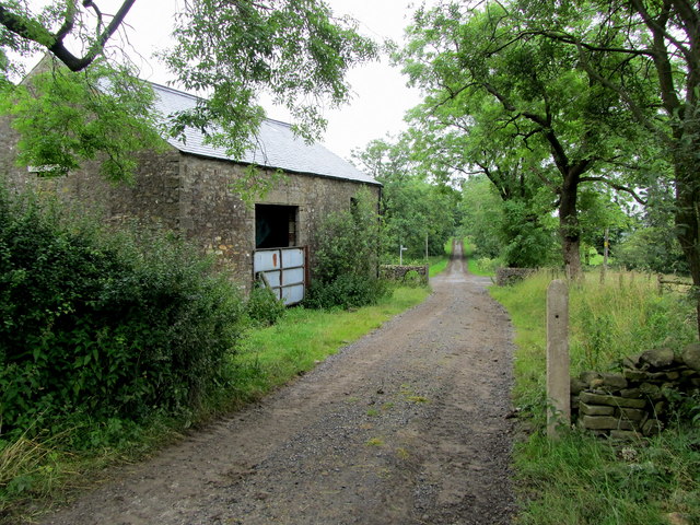
Image: © Chris Heaton Taken: 25 Jul 2012
The access lane reaches the Queen's highway by the stone barn, which appears to act like a functional lodge
Images are licensed for reuse under creativecommons.org/licenses/by-sa/2.0
Image Location


Leaflet Map data © OpenStreetMap
Latitude
53.982455
Longitude
-2.27734