Northumberland Road goes under ECML
Introduction
The photograph on this page of Northumberland Road goes under ECML by Russel Wills as part of the Geograph project.
The Geograph project started in 2005 with the aim of publishing, organising and preserving representative images for every square kilometre of Great Britain, Ireland and the Isle of Man.

There are currently over 7.5m images from over 14,400 individuals and you can help contribute to the project by visiting https://www.geograph.org.uk
Northumberland Road goes under ECML
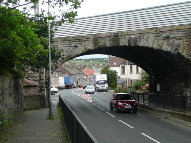
Image: © Russel Wills Taken: 23 Jul 2012
The East Coast Main Line makes a large curve as it crosses the Royal Border Bridge which can just be seen through the nearer arch.
Images are licensed for reuse under creativecommons.org/licenses/by-sa/2.0
Image Location
Latitude
55.760993
Longitude
-2.010173