Trent Street
Introduction
The photograph on this page of Trent Street by John Sutton as part of the Geograph project.
The Geograph project started in 2005 with the aim of publishing, organising and preserving representative images for every square kilometre of Great Britain, Ireland and the Isle of Man.

There are currently over 7.5m images from over 14,400 individuals and you can help contribute to the project by visiting https://www.geograph.org.uk
Trent Street
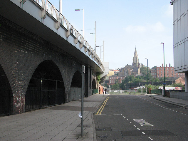
Image: © John Sutton Taken: 21 Jul 2012
The arches to the left once carried the Great Central Railway south from Nottingham Victoria Station. They now support Station Street tram stop, currently the southern terminus of the NET system. In the distance is the former High Pavement Unitarian Chapel.
Images are licensed for reuse under creativecommons.org/licenses/by-sa/2.0
Image Location
Latitude
52.948189
Longitude
-1.145392