A127 - turning for Pipps Hill Road North
Introduction
The photograph on this page of A127 - turning for Pipps Hill Road North by Robin Webster as part of the Geograph project.
The Geograph project started in 2005 with the aim of publishing, organising and preserving representative images for every square kilometre of Great Britain, Ireland and the Isle of Man.

There are currently over 7.5m images from over 14,400 individuals and you can help contribute to the project by visiting https://www.geograph.org.uk
A127 - turning for Pipps Hill Road North
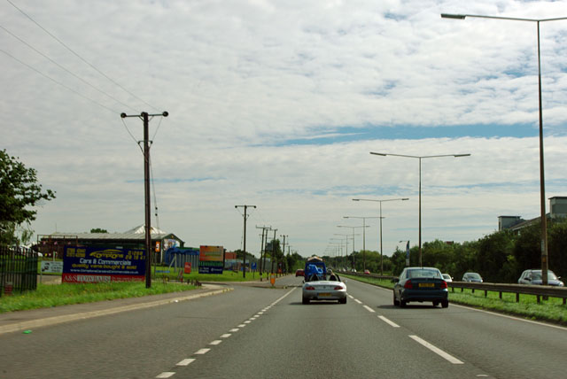
Image: © Robin Webster Taken: 22 Jul 2012
The Southend Arterial Road, eastbound. The 'North' of the side turning implies there was once a 'South', but this has been eliminated as a junction here in the development of Basildon. When the Arterial Road was built in the 1930s it cut across many north-south lanes, creating crossroads, but these have now all been blocked off as crossings.
Images are licensed for reuse under creativecommons.org/licenses/by-sa/2.0
Image Location
Latitude
51.588776
Longitude
0.461687