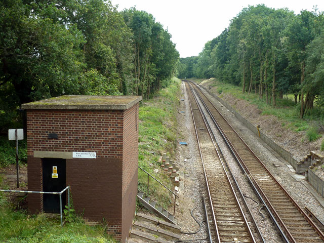
Ash Junction T.P.H.
Introduction
The photograph on this page of Ash Junction T.P.H. by Robin Webster as part of the Geograph project.
The Geograph project started in 2005 with the aim of publishing, organising and preserving representative images for every square kilometre of Great Britain, Ireland and the Isle of Man.
There are currently over 7.5m images from over 14,400 individuals and you can help contribute to the project by visiting https://www.geograph.org.uk

Image: © Robin Webster Taken: 20 Jul 2012
The building is so labelled, but what is a 'T.P.H.'? One Network Rail safety site gives 'Traction Power Hut', but all other technical references have 'Track Parallelling Hut', a more descriptive term as apparently they balance the traction voltage in parallel tracks midway between power supply substations. The building is some way from the site of Ash Junction, which was just beyond the curve at the end of the straight, where the surviving line curves away from the abandoned line to Farnham Junction via Tongham.
Image Location


