Prosser Street View
Introduction
The photograph on this page of Prosser Street View by Gordon Griffiths as part of the Geograph project.
The Geograph project started in 2005 with the aim of publishing, organising and preserving representative images for every square kilometre of Great Britain, Ireland and the Isle of Man.

There are currently over 7.5m images from over 14,400 individuals and you can help contribute to the project by visiting https://www.geograph.org.uk
Prosser Street View
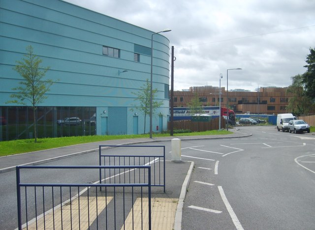
Image: © Gordon Griffiths Taken: 17 Jul 2012
The building to the left is the new leisure centre opened in December next to the Black Country Route. The centre is named after Bert Williams MBE the former Wolves and England Goalkeeper and as a 25 metre pool.
Images are licensed for reuse under creativecommons.org/licenses/by-sa/2.0
Image Location
Latitude
52.562886
Longitude
-2.078436