The Highway
Introduction
The photograph on this page of The Highway by Simon Carey as part of the Geograph project.
The Geograph project started in 2005 with the aim of publishing, organising and preserving representative images for every square kilometre of Great Britain, Ireland and the Isle of Man.

There are currently over 7.5m images from over 14,400 individuals and you can help contribute to the project by visiting https://www.geograph.org.uk
The Highway
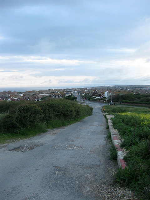
Image: © Simon Carey Taken: 6 Jul 2012
Looking down towards its junction with South Coast Road, the A259, at the eastern end of Peacehaven. Now a restricted byway it was the original road to Newhaven across what was then open downland. The new route branching off to the right was added in the early 19th century when the road was turnpiked and lessened the gradient when negotiating Rushy Hill. The road is still used as an access route for the houses on Peacehaven Heights.
Images are licensed for reuse under creativecommons.org/licenses/by-sa/2.0
Image Location
Latitude
50.787633
Longitude
0.020947