London Loop, near Tolworth
Introduction
The photograph on this page of London Loop, near Tolworth by Colin Smith as part of the Geograph project.
The Geograph project started in 2005 with the aim of publishing, organising and preserving representative images for every square kilometre of Great Britain, Ireland and the Isle of Man.

There are currently over 7.5m images from over 14,400 individuals and you can help contribute to the project by visiting https://www.geograph.org.uk
London Loop, near Tolworth
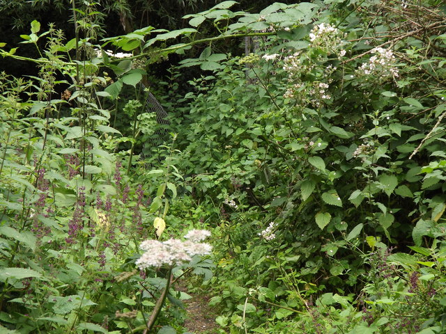
Image: © Colin Smith Taken: 3 Jul 2012
Narrow and overgrown section of the London Outer Orbital Path close to Tolworth Court Bridge. Here it follows the Hogsmill River. http://www.epsomandewellhistoryexplorer.org.uk/Hogsmill.html
Images are licensed for reuse under creativecommons.org/licenses/by-sa/2.0
Image Location
Latitude
51.373433
Longitude
-0.269748