Sheltered Housing, Withington
Introduction
The photograph on this page of Sheltered Housing, Withington by David Hawgood as part of the Geograph project.
The Geograph project started in 2005 with the aim of publishing, organising and preserving representative images for every square kilometre of Great Britain, Ireland and the Isle of Man.

There are currently over 7.5m images from over 14,400 individuals and you can help contribute to the project by visiting https://www.geograph.org.uk
Sheltered Housing, Withington
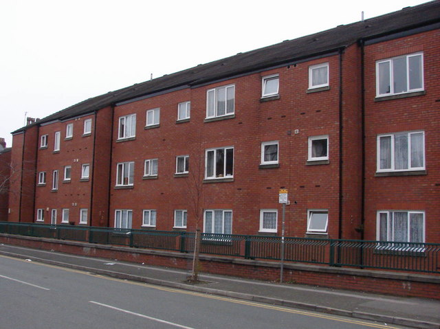
Image: © David Hawgood Taken: 26 Dec 2006
This is Jack Edwards Court, Lapwing Lane. It is sheltered housing, apartments for people over 60. It was built in 1986, and is run by Mosscare, a housing association.
Images are licensed for reuse under creativecommons.org/licenses/by-sa/2.0
Image Location


Leaflet Map data © OpenStreetMap
Latitude
53.42725
Longitude
-2.239246