Across the Coly
Introduction
The photograph on this page of Across the Coly by Derek Harper as part of the Geograph project.
The Geograph project started in 2005 with the aim of publishing, organising and preserving representative images for every square kilometre of Great Britain, Ireland and the Isle of Man.

There are currently over 7.5m images from over 14,400 individuals and you can help contribute to the project by visiting https://www.geograph.org.uk
Across the Coly
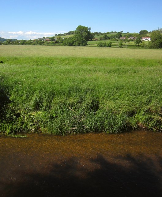
Image: © Derek Harper Taken: 19 Jun 2012
The view from Rosemary Lane after the end of the houses on the north side, looking across the flood plain to where trees line the Umborne Brook. Beyond, on the right, is Colcombe Mill.
Images are licensed for reuse under creativecommons.org/licenses/by-sa/2.0
Image Location
Latitude
50.742505
Longitude
-3.068564