Ramsgate: steps to the harbour
Introduction
The photograph on this page of Ramsgate: steps to the harbour by Chris Downer as part of the Geograph project.
The Geograph project started in 2005 with the aim of publishing, organising and preserving representative images for every square kilometre of Great Britain, Ireland and the Isle of Man.

There are currently over 7.5m images from over 14,400 individuals and you can help contribute to the project by visiting https://www.geograph.org.uk
Ramsgate: steps to the harbour
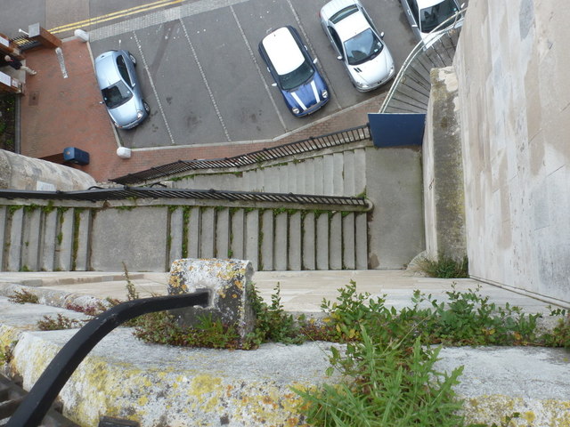
Image: © Chris Downer Taken: 18 Jun 2012
Looking almost directly downwards from Royal Parade, the main road into the town centre, with the harbourside road below us, at the bottom of the steps.
Images are licensed for reuse under creativecommons.org/licenses/by-sa/2.0
Image Location
Latitude
51.329718
Longitude
1.416442