7.5 tonne limit through Usk town
Introduction
The photograph on this page of 7.5 tonne limit through Usk town by Jaggery as part of the Geograph project.
The Geograph project started in 2005 with the aim of publishing, organising and preserving representative images for every square kilometre of Great Britain, Ireland and the Isle of Man.

There are currently over 7.5m images from over 14,400 individuals and you can help contribute to the project by visiting https://www.geograph.org.uk
7.5 tonne limit through Usk town
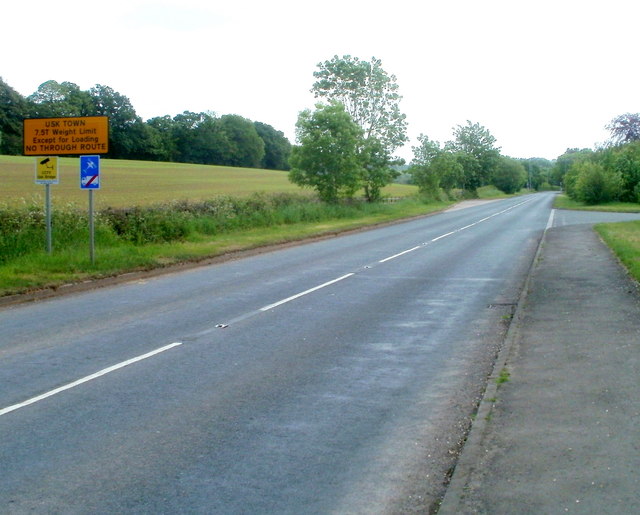
Image: © Jaggery Taken: 22 May 2011
The sign is alongside the A472, between Monkswood and Rhadyr, to the NW of Usk. Below the main sign are two smaller ones. The yellow one shows that there is CCTV surveillance of Usk Bridge. The blue one tells drivers of heavy vehicles to ignore satnav directions.
Images are licensed for reuse under creativecommons.org/licenses/by-sa/2.0
Image Location
Latitude
51.715749
Longitude
-2.929231