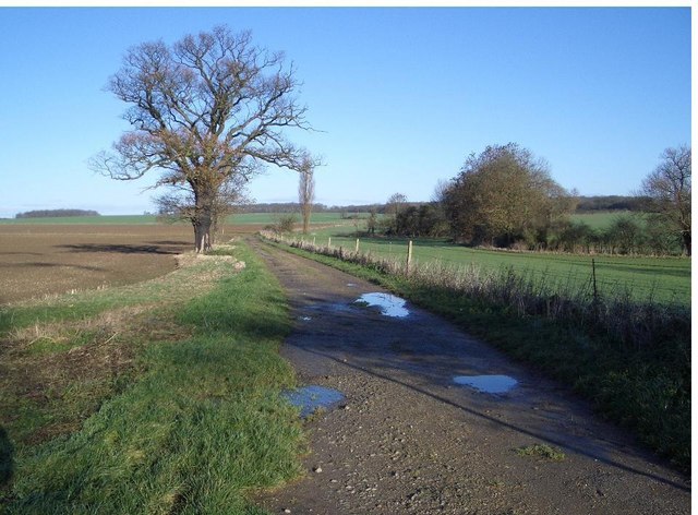
Three Shire Bridleway near Lavendon
Introduction
The photograph on this page of Three Shire Bridleway near Lavendon by Nigel Stickells as part of the Geograph project.
The Geograph project started in 2005 with the aim of publishing, organising and preserving representative images for every square kilometre of Great Britain, Ireland and the Isle of Man.
There are currently over 7.5m images from over 14,400 individuals and you can help contribute to the project by visiting https://www.geograph.org.uk

Image: © Nigel Stickells Taken: 17 Dec 2006
Looking northwards, this view of the Three Shire Bridleway shows it threading its way onwards towards the woods on the skyline - Three Shire and The Oaks Woods, between which it passes. The open fields over on the left were used as a practice bombing range during WWII by aircraft from the nearby US Airfields.

