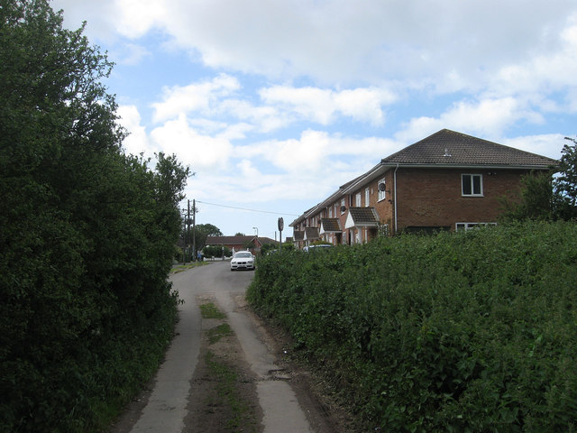
Downs Walk
Introduction
The photograph on this page of Downs Walk by Simon Carey as part of the Geograph project.
The Geograph project started in 2005 with the aim of publishing, organising and preserving representative images for every square kilometre of Great Britain, Ireland and the Isle of Man.
There are currently over 7.5m images from over 14,400 individuals and you can help contribute to the project by visiting https://www.geograph.org.uk

Image: © Simon Carey Taken: 9 Jun 2012
The road was originally known as Phyllis Avenue but was changed to avoid confusion after the section south of Firle Road was cut off from that north of Heathy Brow that was laid out in the early 1980s. The change seems to have been carried out sometime in the last twenty years. This view looks from the point where the rough track becomes a proper road near to the junction with Telscombe Road.

