Towards Tibberton
Introduction
The photograph on this page of Towards Tibberton by Derek Harper as part of the Geograph project.
The Geograph project started in 2005 with the aim of publishing, organising and preserving representative images for every square kilometre of Great Britain, Ireland and the Isle of Man.

There are currently over 7.5m images from over 14,400 individuals and you can help contribute to the project by visiting https://www.geograph.org.uk
Towards Tibberton
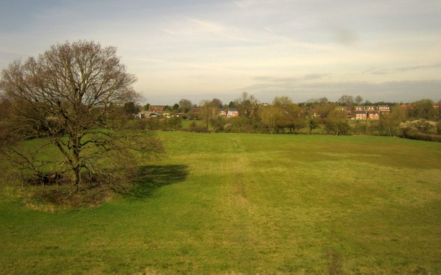
Image: © Derek Harper Taken: 6 Apr 2012
View from the railway line between Bromsgrove and Tewkesbury. The large tree on the left is shown on the maps. A footpath crosses the field behind the tree, heading from the railway towards the village on its hill.
Images are licensed for reuse under creativecommons.org/licenses/by-sa/2.0
Image Location
Latitude
52.215003
Longitude
-2.138707