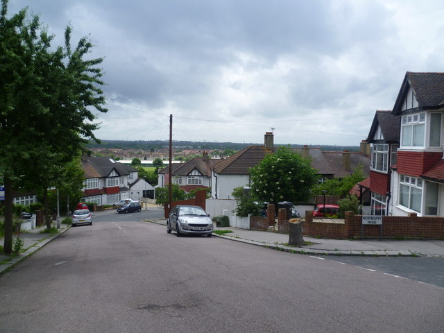
Ena Road, Pollards Hill
Introduction
The photograph on this page of Ena Road, Pollards Hill by Marathon as part of the Geograph project.
The Geograph project started in 2005 with the aim of publishing, organising and preserving representative images for every square kilometre of Great Britain, Ireland and the Isle of Man.
There are currently over 7.5m images from over 14,400 individuals and you can help contribute to the project by visiting https://www.geograph.org.uk

Image: © Marathon Taken: 6 Jun 2012
Pollards Hill occupies the highest point in Norbury and on a clear day the view stretches to Windsor Castle. It was originally part of the Great North Wood and the name 'Pollard' derives from this connection. Some of the neighbouring roads also have good views. This is Ena Road. St Helier Hospital is on the horizon immediately behind the telegraph pole.

