Mauchline Parish Church
Introduction
The photograph on this page of Mauchline Parish Church by Bob Forrest as part of the Geograph project.
The Geograph project started in 2005 with the aim of publishing, organising and preserving representative images for every square kilometre of Great Britain, Ireland and the Isle of Man.

There are currently over 7.5m images from over 14,400 individuals and you can help contribute to the project by visiting https://www.geograph.org.uk
Mauchline Parish Church
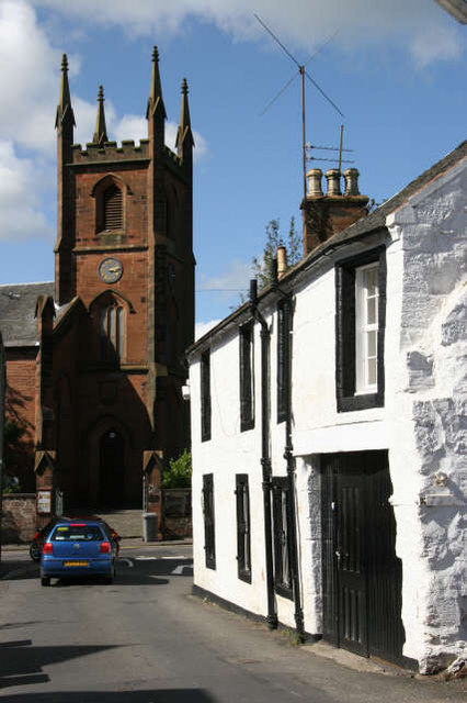
Image: © Bob Forrest Taken: 18 Jun 2005
The road in the foreground called the 'Cowgate' was the path of the original main road from Kilmarnock to Cumnock before the construction of Earl Grey Street which is now the route of the A76(T) road through Mauchline Cross.
Images are licensed for reuse under creativecommons.org/licenses/by-sa/2.0
Image Location
Latitude
55.515355
Longitude
-4.381929