River Farm, Louth Navigation and River Lud
Introduction
The photograph on this page of River Farm, Louth Navigation and River Lud by Chris as part of the Geograph project.
The Geograph project started in 2005 with the aim of publishing, organising and preserving representative images for every square kilometre of Great Britain, Ireland and the Isle of Man.

There are currently over 7.5m images from over 14,400 individuals and you can help contribute to the project by visiting https://www.geograph.org.uk
River Farm, Louth Navigation and River Lud
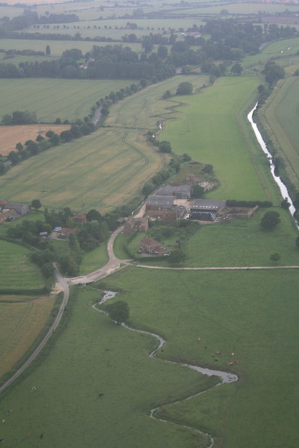
Image: © Chris Taken: 13 Jul 2008
A rare view showing the (now rather depleted) Louth Navigation with its source, the River Lud, wriggling along next to it. Louth Park, and the site of Louth Abbey, are marked by the trees in the background.
Images are licensed for reuse under creativecommons.org/licenses/by-sa/2.0
Image Location
Latitude
53.385972
Longitude
0.034973