Fields by the old A38
Introduction
The photograph on this page of Fields by the old A38 by Derek Harper as part of the Geograph project.
The Geograph project started in 2005 with the aim of publishing, organising and preserving representative images for every square kilometre of Great Britain, Ireland and the Isle of Man.

There are currently over 7.5m images from over 14,400 individuals and you can help contribute to the project by visiting https://www.geograph.org.uk
Fields by the old A38
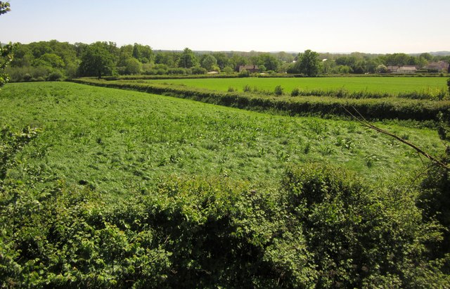
Image: © Derek Harper Taken: 26 May 2012
The view from the top of the gravel heap blocking the public access route shown in Image is better than from ground level (Image), which seems fair compensation for having to climb it. The houses are along the B3340 Uffculme Road.
Images are licensed for reuse under creativecommons.org/licenses/by-sa/2.0
Image Location
Latitude
50.895008
Longitude
-3.363548