Lane towards Talybont Farm
Introduction
The photograph on this page of Lane towards Talybont Farm by John Haynes as part of the Geograph project.
The Geograph project started in 2005 with the aim of publishing, organising and preserving representative images for every square kilometre of Great Britain, Ireland and the Isle of Man.

There are currently over 7.5m images from over 14,400 individuals and you can help contribute to the project by visiting https://www.geograph.org.uk
Lane towards Talybont Farm
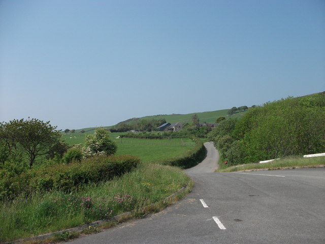
Image: © John Haynes Taken: 25 May 2012
The buildings of Talybont Farm can be seen amongst the trees and hedges.
Images are licensed for reuse under creativecommons.org/licenses/by-sa/2.0
Image Location
Latitude
52.614309
Longitude
-4.075284