Woodmansterne Road, Coulsdon
Introduction
The photograph on this page of Woodmansterne Road, Coulsdon by Des Blenkinsopp as part of the Geograph project.
The Geograph project started in 2005 with the aim of publishing, organising and preserving representative images for every square kilometre of Great Britain, Ireland and the Isle of Man.

There are currently over 7.5m images from over 14,400 individuals and you can help contribute to the project by visiting https://www.geograph.org.uk
Woodmansterne Road, Coulsdon
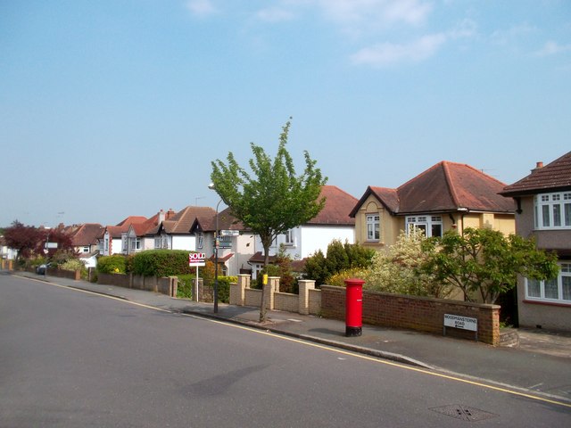
Image: © Des Blenkinsopp Taken: 23 May 2012
On the London Loop path, this is part of a 2km-ish length of roadside walking as the route goes through Coulsdon.
Images are licensed for reuse under creativecommons.org/licenses/by-sa/2.0
Image Location


Leaflet Map data © OpenStreetMap
Latitude
51.320972
Longitude
-0.144138