Trig point at Lane Ends
Introduction
The photograph on this page of Trig point at Lane Ends by Bill Boaden as part of the Geograph project.
The Geograph project started in 2005 with the aim of publishing, organising and preserving representative images for every square kilometre of Great Britain, Ireland and the Isle of Man.

There are currently over 7.5m images from over 14,400 individuals and you can help contribute to the project by visiting https://www.geograph.org.uk
Trig point at Lane Ends
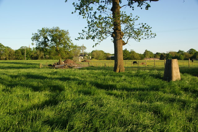
Image: © Bill Boaden Taken: 26 May 2012
At 73 metres, this is very slightly the highest point in the locality. I tried to get Balderstone Church in view, but the spire is just visible over the trees to the left.
Images are licensed for reuse under creativecommons.org/licenses/by-sa/2.0
Image Location
Latitude
53.789108
Longitude
-2.564001