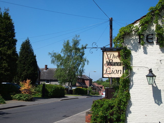
Notts - NG16 (Bagthorpe)
Introduction
The photograph on this page of Notts - NG16 (Bagthorpe) by David Hallam-Jones as part of the Geograph project.
The Geograph project started in 2005 with the aim of publishing, organising and preserving representative images for every square kilometre of Great Britain, Ireland and the Isle of Man.
There are currently over 7.5m images from over 14,400 individuals and you can help contribute to the project by visiting https://www.geograph.org.uk

Image: © David Hallam-Jones Taken: 26 May 2012
By the time an observer has reached here on Church Lane and finds him/herself looking downhill in the direction of Lower Bagthorpe, the supply of terraced houses associated with the former mining community of Underwood, has disappeared from the housing stock and has been replaced by larger, more modern detached and semi-detached properties. An exceptionally large garden and children's play area to the side and rear of this 17th century pub appear to make up for its 'cosy' size (at least in the summer).

