Road embankment near Loughbrickland
Introduction
The photograph on this page of Road embankment near Loughbrickland by Albert Bridge as part of the Geograph project.
The Geograph project started in 2005 with the aim of publishing, organising and preserving representative images for every square kilometre of Great Britain, Ireland and the Isle of Man.

There are currently over 7.5m images from over 14,400 individuals and you can help contribute to the project by visiting https://www.geograph.org.uk
Road embankment near Loughbrickland
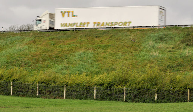
Image: © Albert Bridge Taken: 19 May 2012
Shortly after passing Loughbrickland lake Image the Belfast – Dublin road Image is carried on this embankment on the western side of the old single-carriageway road (behind me), now an unclassified road with a picnic tables Image The Google map uses blue to show the road although it’s not a motorway.
Images are licensed for reuse under creativecommons.org/licenses/by-sa/2.0
Image Location
Latitude
54.301787
Longitude
-6.2969