Grindleford Station
Introduction
The photograph on this page of Grindleford Station by John Topping as part of the Geograph project.
The Geograph project started in 2005 with the aim of publishing, organising and preserving representative images for every square kilometre of Great Britain, Ireland and the Isle of Man.

There are currently over 7.5m images from over 14,400 individuals and you can help contribute to the project by visiting https://www.geograph.org.uk
Grindleford Station
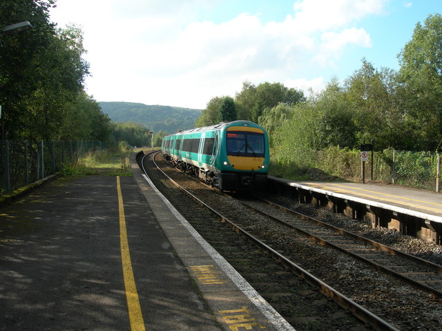
Image: © John Topping Taken: 23 Sep 2006
A class 170 diesel unit speeding through on the up line heading for Totley Tunnel.
Images are licensed for reuse under creativecommons.org/licenses/by-sa/2.0
Image Location
Latitude
53.305562
Longitude
-1.626897