Rushbrooke reservoir
Introduction
The photograph on this page of Rushbrooke reservoir by Bob Jones as part of the Geograph project.
The Geograph project started in 2005 with the aim of publishing, organising and preserving representative images for every square kilometre of Great Britain, Ireland and the Isle of Man.

There are currently over 7.5m images from over 14,400 individuals and you can help contribute to the project by visiting https://www.geograph.org.uk
Rushbrooke reservoir
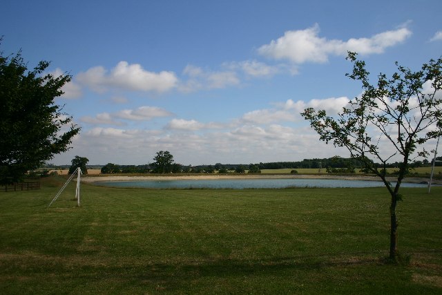
Image: © Bob Jones Taken: 21 Jul 2005
A new reservoir has been dug behind Home Farm. The village playing field is in the foreground.
Images are licensed for reuse under creativecommons.org/licenses/by-sa/2.0
Image Location


Leaflet Map data © OpenStreetMap
Latitude
52.221041
Longitude
0.766952