The turning to Clevedon and Nailsea
Introduction
The photograph on this page of The turning to Clevedon and Nailsea by Ruth Riddle as part of the Geograph project.
The Geograph project started in 2005 with the aim of publishing, organising and preserving representative images for every square kilometre of Great Britain, Ireland and the Isle of Man.

There are currently over 7.5m images from over 14,400 individuals and you can help contribute to the project by visiting https://www.geograph.org.uk
The turning to Clevedon and Nailsea
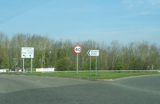
Image: © Ruth Riddle Taken: 23 Mar 2012
At junction 20 of the M5 there is a large roundabout above the motorway, which only has one exit other than the northbound and southbound carriageways. Despite Clevedon being to the west of the M5 and Nailsea to the east, all traffic must head west through the suburbs of Clevedon first, whatever the required destination.
Images are licensed for reuse under creativecommons.org/licenses/by-sa/2.0
Image Location
Latitude
51.432373
Longitude
-2.84061