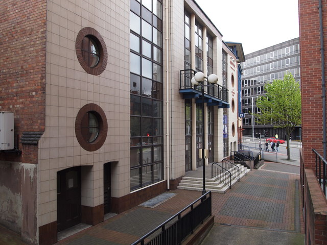
Nottingham - NG1
Introduction
The photograph on this page of Nottingham - NG1 by David Hallam-Jones as part of the Geograph project.
The Geograph project started in 2005 with the aim of publishing, organising and preserving representative images for every square kilometre of Great Britain, Ireland and the Isle of Man.
There are currently over 7.5m images from over 14,400 individuals and you can help contribute to the project by visiting https://www.geograph.org.uk

Image: © David Hallam-Jones Taken: 5 May 2012
Although this is technically the front of the Albert Hall, accessed via Derby Road - seen in the distance - most ambulant users seem to enter this well-known concert hall via alternative entrances in Wellington Circus Street – near to the Playhouse Theatre. The original Albert Hall was built in 1876 using plans by Watson Fothergill, an established local architect. In 1900 it was bought by Wesleyan Methodists for £8,450 in order to establish a mission therein. Six years later however, it was burned to the ground and only replaced by the present building in 1909.

